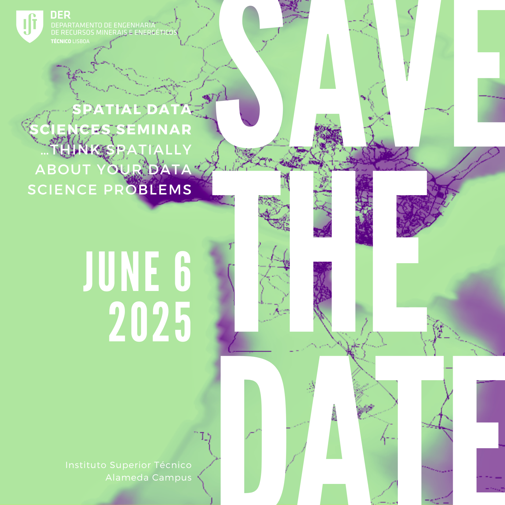
Spatial Data Science Seminar

The next Spatial Data Science Seminar is scheduled for June 6, 2025, in Room 3.23 of the Mining Building, at the Instituto Superior Técnico – Alameda Campus.
Have you ever wondered why a phenomenon occurs in a specific location? What tools do we have to model and predict phenomena with a significant spatial component? Spatial Data Science offers insights into these questions.
Spatial Data Science is an interdisciplinary field that integrates traditional data science methods—such as Machine Learning and Artificial Intelligence—with spatial analysis methodologies, including Geographic Information Systems, Geostatistics, and Remote Sensing. This combination enables us to understand, characterize, and manage big spatial data.
These tools are essential for fields that require advanced predictions, such as human behavior modeling, pandemic dynamics, extreme climatic events, and oceanographic applications. In fact, spatial data science plays a crucial role in the IT core business of companies like Google, Uber, and Amazon.
This seminar explores various methods and applications of Spatial Data Science, aiming to foster collaboration and strengthen synergies between research centers in this rapidly growing field.
Participation is free, but registration is required.
👉 Register here: https://forms.gle/AVvHntoo44objyud6
More information and the full programme will be available soon.
PROGRAMME
• 9:30 Welcome section
• 9:40-10:00 - Graph Neural Networks and Epidemic Spatiotemporal Forecasting
Duarte Boto e Arlindo Oliveira (INESC-ID).
• 10:00- 10:20 - Temporal and spatial modelling of extreme drought events using geostatistics and functional data analysis.
Miguel Gomes, Amílcar Soares, Ana Castro, Manuel Ribeiro, Rita Durão (CERENA).
• 10:20- 10:40 - Simple Machine Learning Approach to Shoreline Position Modelling
Daniel Pais (+ATLANTIC, FCUL, IDL), Luis Pedro Almeida (+ATLANTIC), Cristina Ponte Lira (IPMA, IDL), Rui Taborda (FCUL, IDL)
10:40-11:00 – Discussion
11:00-11:20 Coffee Break
• 11:20-11:40 - Mapping Green Roofs on Buildings Using Vegetation Indices and Deep Learning Techniques.
Ana Paula falcão, Joana Pernes, Vasco Miranda e Cristina Matos Silva (CERIS)
• 11:40- 12:00 – spatial data science in ocean modelling.
Ana Filipa Duarte, Renato Mendes, Roberto Miele, Leonardo Azevedo (CERENA)
• 12:00-12:20 - Deep generative learning in geo-modelling.
Wenyao Fan, Leonardo Azevedo (CERENA)
• 12:20- 12:400 – Discussion
12:45 Lunch
